
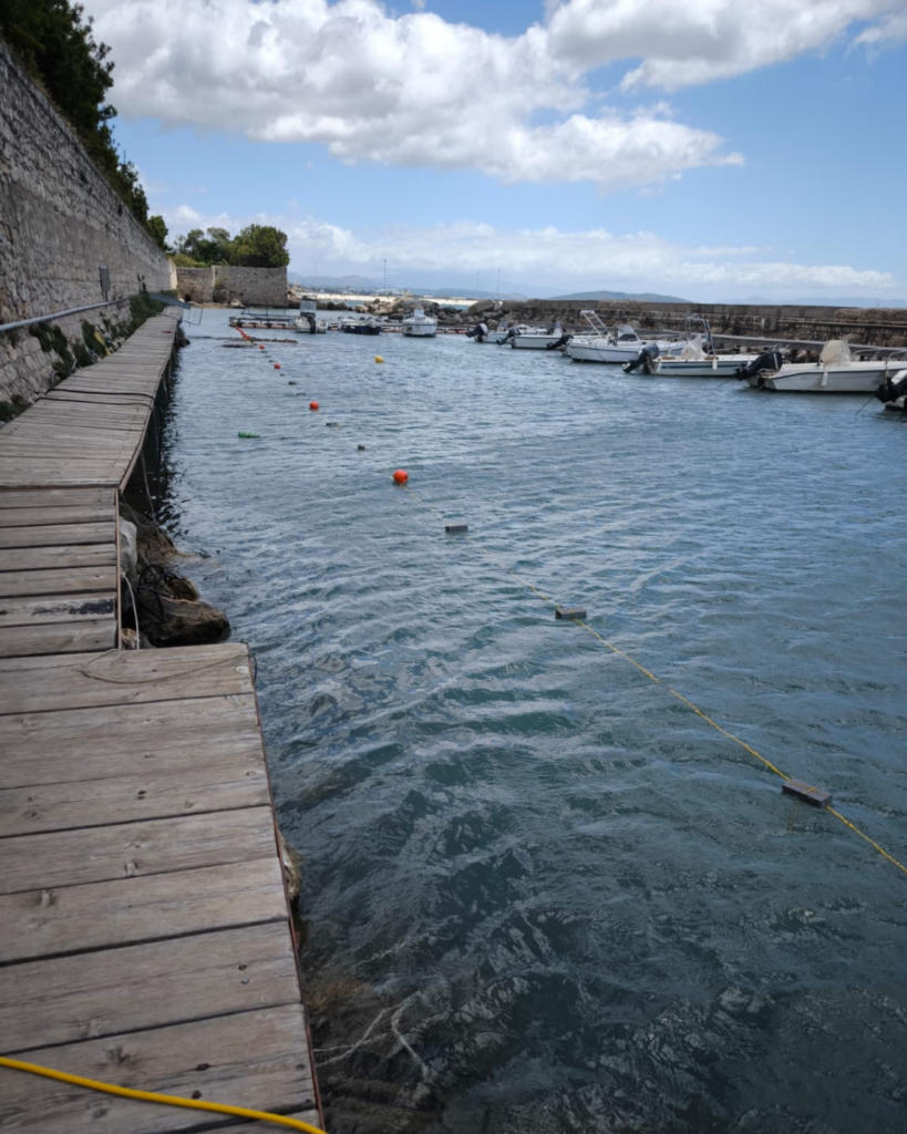
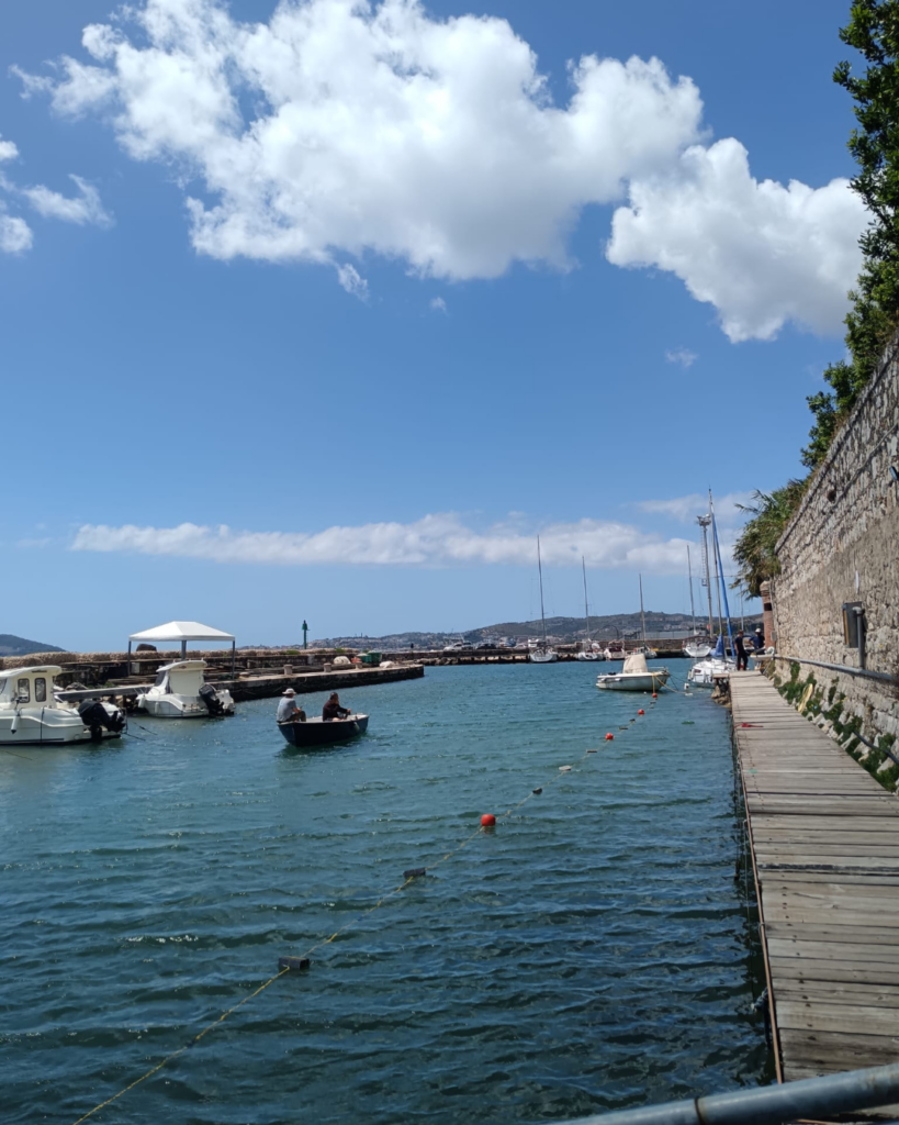
GEO Logica carried out a marine Electrical Resistive Tomography (ERT) survey along the South Coast of Italy, supporting archaeological investigations aimed at characterizing submerged structures and potentially buried cultural heritage.
The survey was conducted in a particularly challenging coastal environment, where variable sea conditions, bathymetric changes, water salinity, and the complex interaction between marine sediments and archaeological remains can significantly influence geophysical measurements. Careful electrode deployment and controlled data acquisition were therefore essential to ensure accurate and reliable subsurface imaging.
The ERT marine investigation was designed to map subseafloor resistivity variations, providing information on the distribution and characteristics of subsurface materials and highlighting resistivity contrasts that may be associated with buried or submerged archaeological features.
The integration of geophysical investigation within the archaeological workflow provides an effective means of exploring the subsurface while keeping physical disturbance to a minimum. This is particularly important in marine archaeological settings, where direct investigation can be logistically demanding and potentially intrusive.
The project highlights the growing role of geophysical methods in the investigation and protection of submerged cultural heritage, demonstrating how non-invasive subsurface imaging can support archaeological interpretation and contribute to a more detailed understanding of sites that remain hidden beneath the seafloor.


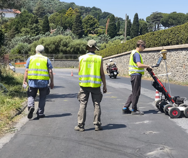
Contact our team of experts
Do you need information, advice or an offer for your project?
Our technical staff is at your disposal for personalized analyses, surveys and studies.