
June 2026 — GEO Logica Srl participated in a research initiative aimed at advancing non-invasive geophysical techniques for the investigation and characterization of complex subsurface environments.
The study focused on a road section of motorway-type infrastructure covered by asphalt, where the possible presence of buried archaeological features needed to be assessed without resorting to excavation. Such environments present a significant challenge for archaeological investigation, as conventional intrusive methods may be restricted by both infrastructure requirements and the need to preserve potentially sensitive cultural heritage.
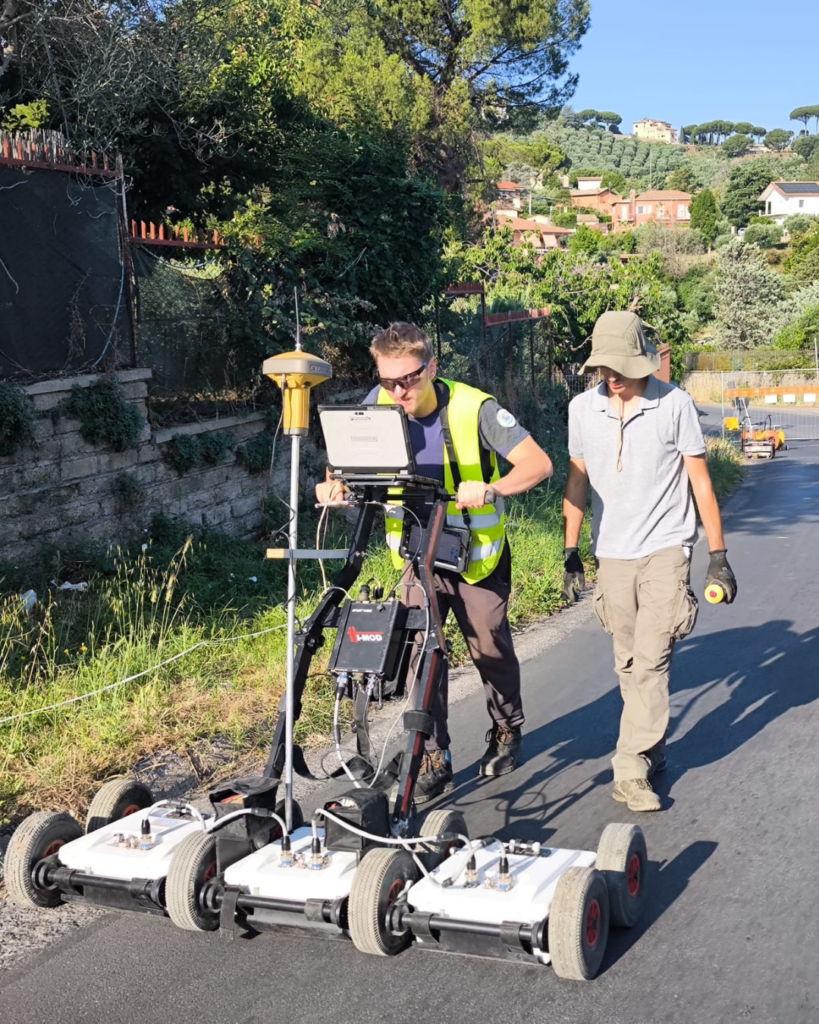
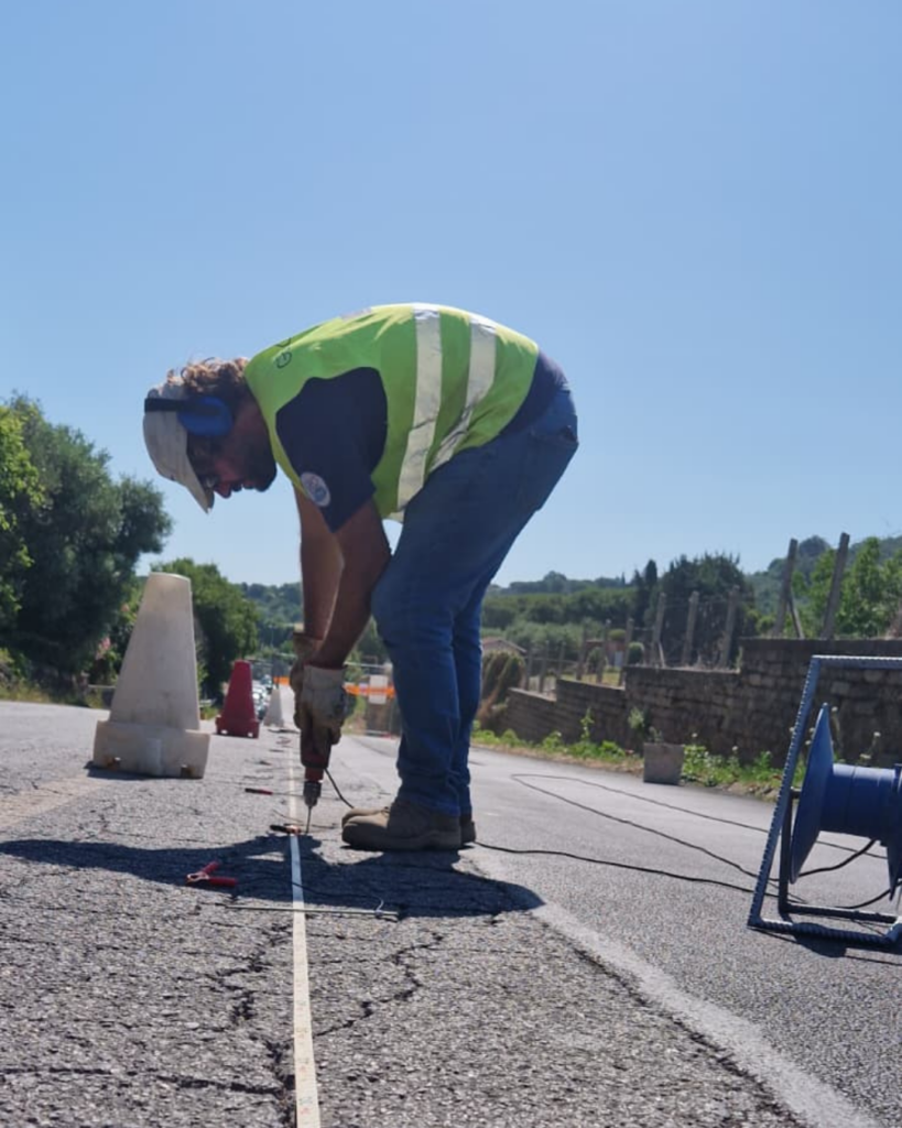
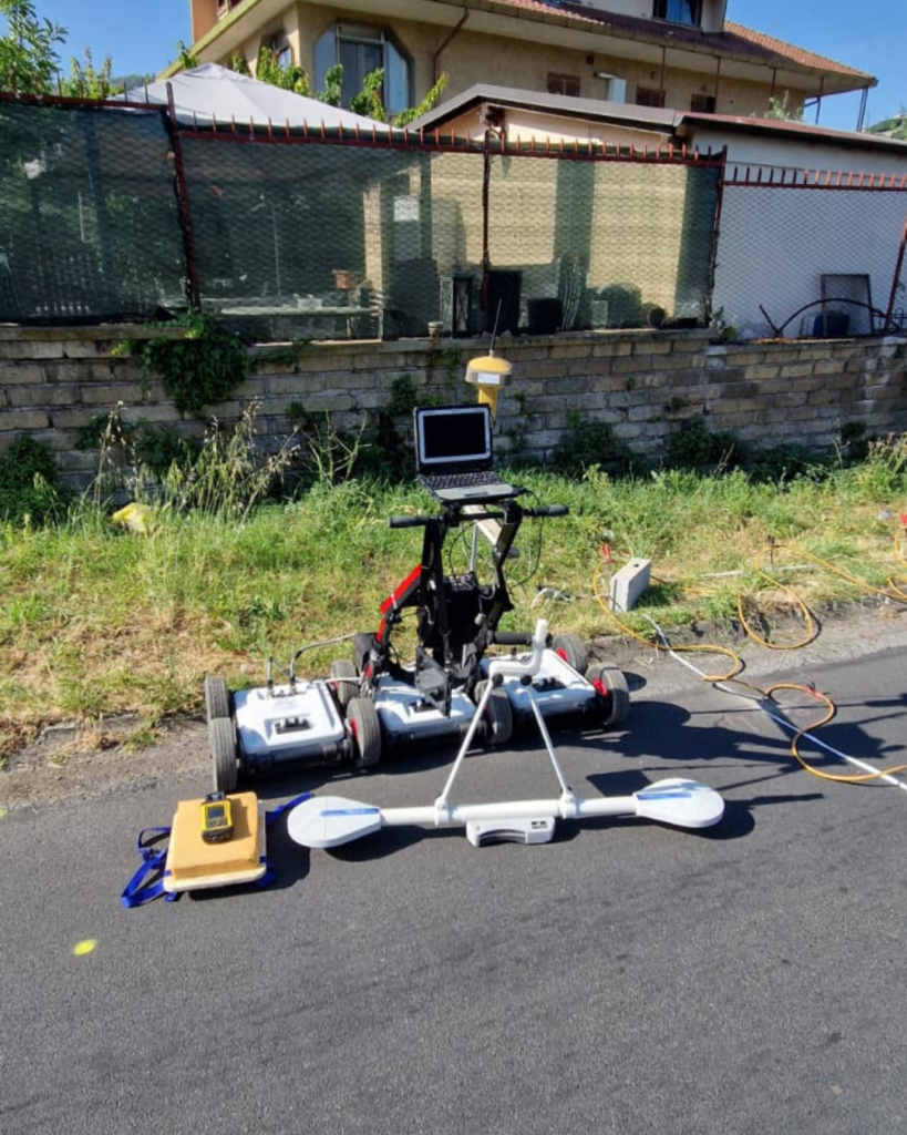
To address these challenges, GEO Logica implemented an integrated multi-method geophysical survey combining Electromagnetics (EMI), Electrical Resistive Tomography (ERT) and Ground Penetrating Radar (GPR).The different techniques were selected to provide complementary information on the electrical and electromagnetic properties of the subsurface, improving the ability to identify and characterize potential buried structures beneath the anthropogenic and asphalt cover.
High-precision GPS positioning was also employed throughout the survey to ensure accurate spatial referencing of the measurements. This allowed the datasets obtained from the different geophysical methods to be consistently integrated and compared within a common spatial framework.
The combination of multiple non-invasive techniques is particularly valuable in complex infrastructural settings, where individual geophysical methods may be affected by surface materials, utilities, anthropogenic disturbances, or other sources of interference. By integrating independent datasets, the study aims to improve the reliability of subsurface interpretation and the identification of anomalies potentially associated with archaeological remains.
The project demonstrates the potential of integrated geophysical approaches for archaeological investigation beneath existing infrastructure, offering a means of obtaining detailed subsurface information while minimizing disturbance to both the infrastructure and the archaeological context.
For GEO Logica, the initiative represents a further step in the development and application of advanced near-surface geophysical methods, bringing together engineering, archaeological, and environmental requirements to address challenging real-world subsurface investigation problems.
The results contribute to the broader development of non-invasive approaches for cultural heritage protection and infrastructure planning, demonstrating how modern geophysical surveying can support the investigation of sensitive environments where traditional excavation is undesirable.


Contact our team of experts
Do you need information, advice or an offer for your project?
Our technical staff is at your disposal for personalized analyses, surveys and studies.