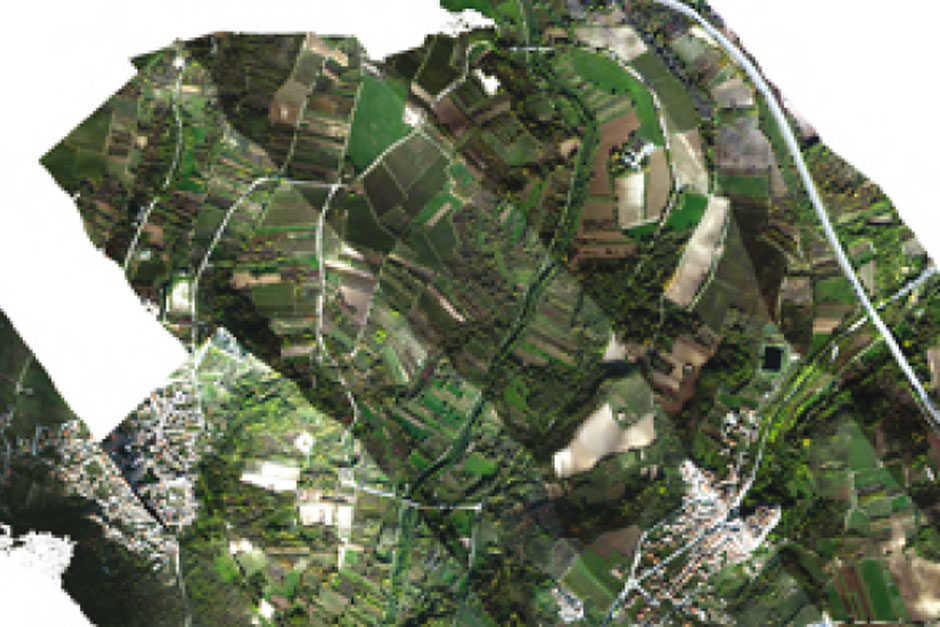
Agriculture
Geology has acquired over time a fundamental role in the characterization of soils
A methodology of study that aims at identifying and describing the pedogenic conditions that characterize and qualify soils. This activity is supported by remote sensing carried out by drones guided manually or automatically by using a remote pilot station.
Remote sensing is an important tool for a better define a territorial zoning.
A multispectral image of soil, in fact, allows to define areas with homogeneous chemical-physical characteristics and to draw thematic maps from collected data.
GEO Logica, by balancing in situ surveys and remote sensing, dedicates itself to geopedologic research and its application to the various fields of the precision agriculture.
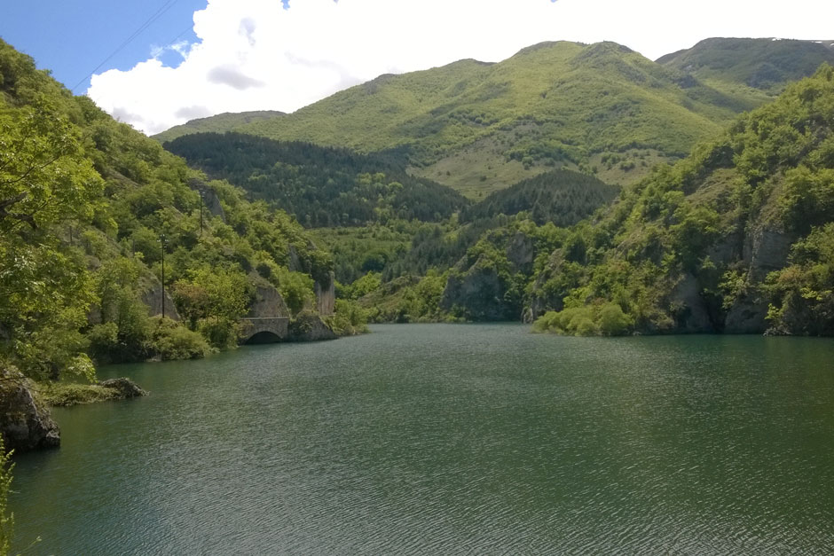
Environment
see more
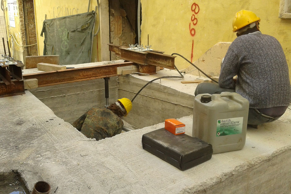
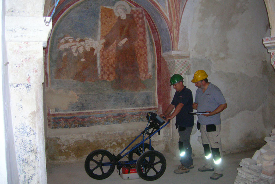
Non destructive testing
see more
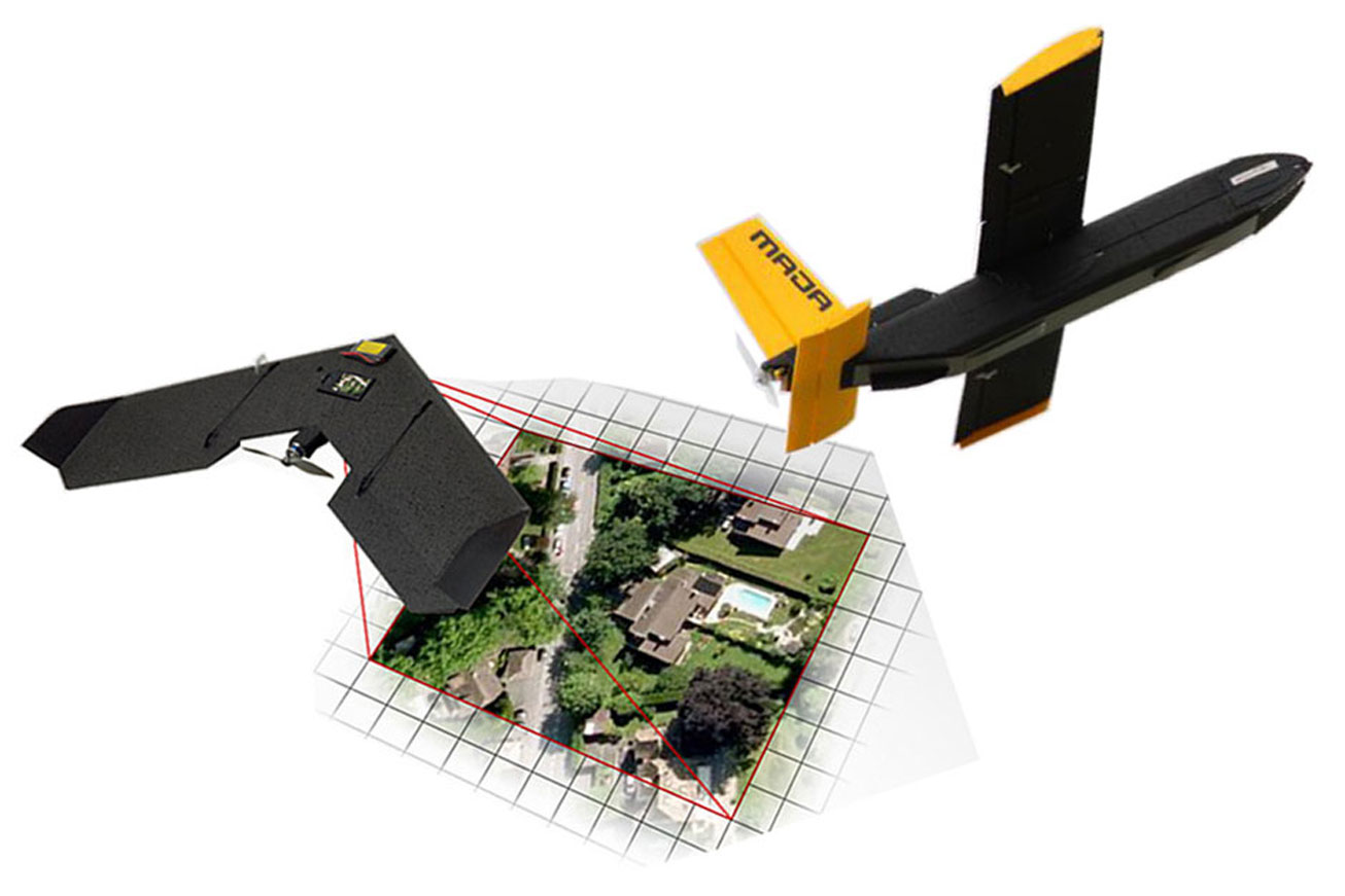
Drone aerial survey & gis
see more
Photogrammetry
see more
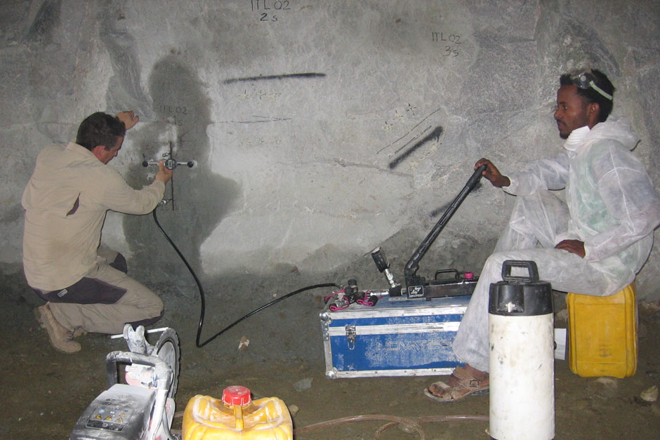
Geophysics
see more
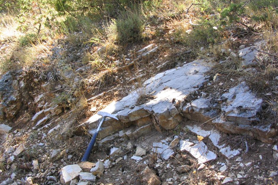
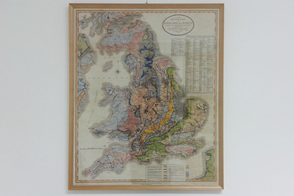
Geology
see more
Geotechnics
see more
GIS and Cartography
see more
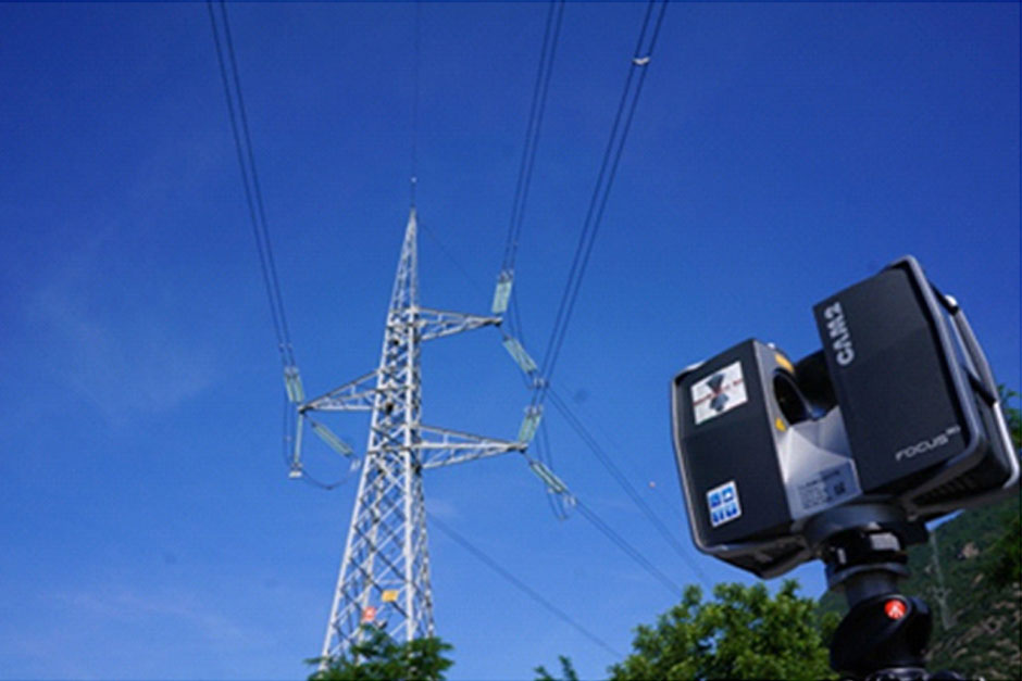
Remote sensing
see more
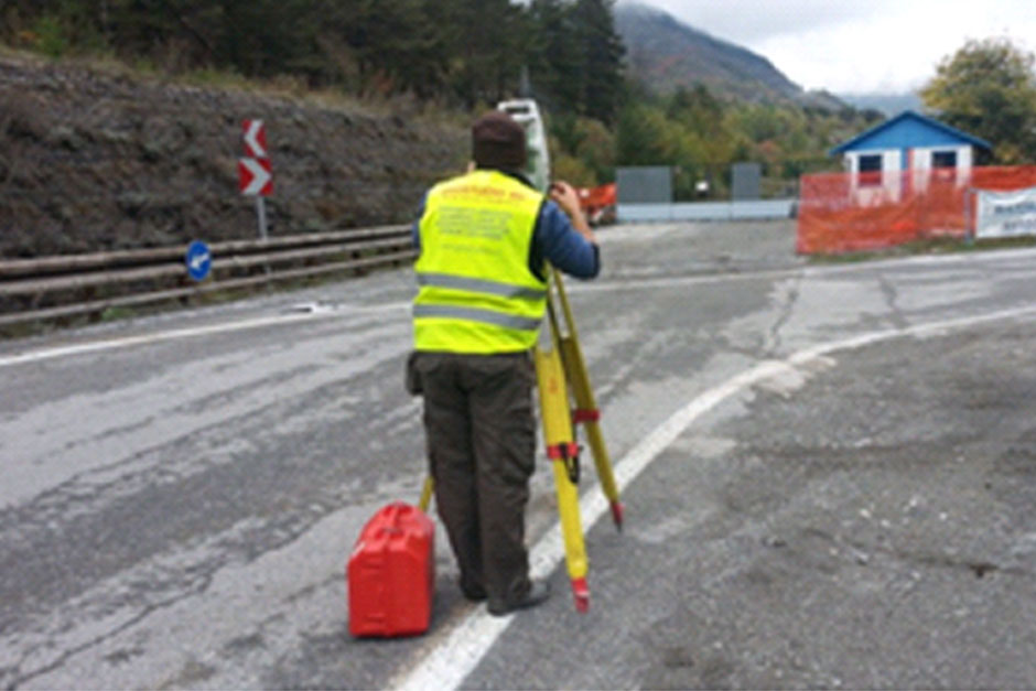
Topography
see more