Remote sensing
Remote sensing (or Remote-Sensing) allows obtaining qualitative and quantitative information on any area of the Earth’s surface
Generally the information is obtained through instruments mounted on artificial satellites, sometimes on airplanes or drones. The information obtained through remote sensing allows us to analyze the morphology, composition, structure and evolution over time of the investigated areas.
The main fields of application are:
Land management: resource mapping, planning support, environmental impact assessment, fight against illegal construction, search for illegal landfills and polluting substances, analysis of land use, urban planning and sustainable development.
Geology and geomorphology: geological mapping, slope stability, hydrogeological instability, geomorphological analysis.
Hydrogeology: precipitation, input for run-off models, evapotranspiration, soil erodibility, river analysis.
Precision agriculture, forestry surveys, vegetation health status and cultivation indications
Archaeology: research and identification of ancient buried sites, paleo-environmental study
Territory management
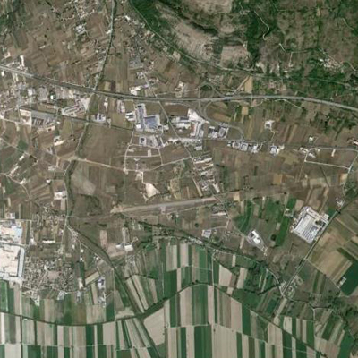
The use of remotely sensed data in land management can be of considerable help for both large- and small-scale approaches.
The data acquired with the different sensors (radar, lidar, visible, infrared, multi spectral, etc.), at different scales and at different time intervals allow us to carry out analyzes that are fundamental for various activities such as: resource mapping, analysis of land use, the assessment of the environmental impact of industrial, agricultural or construction activities, the search for illegal landfills and polluting substances, urban planning and sustainable development, planning support and the fight against illegal construction.
Geology and Geomorphology
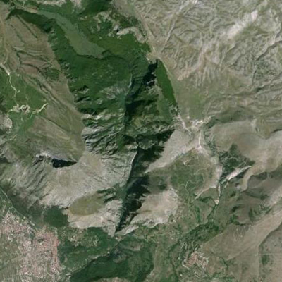
Considerable support and implementation has been given to geological and geomorphological analyzes with the advent of large-scale remote sensing and the relative ease of access to the various data acquired.
The ability to carry out studies on the geology and geomorphology of areas, even very large or inaccessible ones, using and cross-referencing a large mass of data by means of the computers and software currently available to technicians, has made the production and return of cartographic documents and thematic both from a graphic, numerical and quantitative point of view in areas such as geological and geomorphological cartography, hydrogeological instability and slope stability, geomorphological analyses, etc.
Analysis of hydrogeological instability
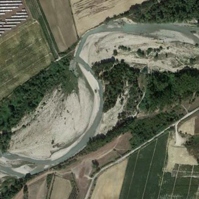
Hydrogeological analyzes have also received a notable boost from the use of data from remote sensing in areas such as precipitation analysis, evapotranspiration, river and lake and marsh basin analysis, degree of snow cover and persistence of glaciers and perennial snowfields. , soil erodibility, analysis and construction of run-off and flooding models.
This has made the production of both qualitative and numerical thematic documentation and cartography more effective.
Precision agriculture
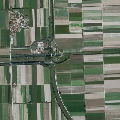
Precision agriculture is based on a territorial analysis carried out with the application of various technologies and principles for the management and measurement of the spatial and temporal variability of processes and phenomena in agriculture.
Remote sensing is applied in this area to agricultural surveys, forestry surveys, vegetation health status and crop indications.
In fact, it is very useful in the acquisition of data on the condition of crops, and of woodland and forest vegetation in general, which can allow optimal management of water resources, the creation of protection and improvement plans for areas in difficulty, the modulation of the doses of pesticides and fertilizers and, at the same time, the reduction of the impact on the environment.
Archeology
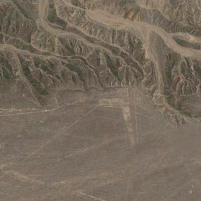
Even in the archaeological field, the use of remote sensing has made it possible to reduce survey and measurement times on areas with already known historical finds and remains, but its use has had an even greater impact in the survey of vast areas that are still little known or unexplored with the recognition of ancient structures and, in some cases, of actual disappeared cities.
Remote sensing also allows paleo-environmental studies that can help in the research and identification of ancient buried sites.
