GIS and cartography
The Geographic Information System (GIS) is a computer system, made up of hardware and software, which allows the acquisition, recording, management, analysis and visualization of georeferenced data and information
GIS therefore allows different existing data to be related and, based on their common geographical reference, to extract or create new information from them.
The main type of territorial data that can be managed in a GIS environment is raster and vector type; raster data are suitable for the representation of information that varies continuously while vector data is better suited to the representation of data that varies in a discretized manner.
Therefore, in a GIS environment it is possible to unify different maps, perform statistical and spatial analyzes of the available data and produce new documentation and cartography on the topics of interest.
GEO Logica makes use of highly specialized professionals in the management, analysis and return of data and cartographic products processed in a GIS environment.

Cartography
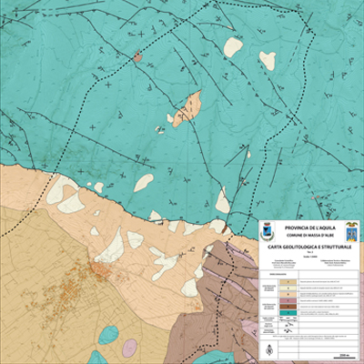
The production of cartographic material at various scales and with various themes represents the ultimate goal of many of the study and analysis activities that GEO Logica technicians carry out at the request of public and private clients.
Geological, geomorphological, hydrogeological and various other thematic cartography (land use, seismic microzonation, etc.) is produced as a support for urban planning and land management tools.
