Activities with drones (SAPR)
Remotely piloted systems (RPAS), both fixed-wing and multi-rotor, allow photographic surveys in the visible, thermal or multi-spectral ranges, depending on the associated shooting sensor
They are equipment equipped with different control systems (GPS, gyroscope, accelerometer, magnetometer and barometer) of flight attitudes and external conditions and can be used to carry out high precision aerophotogrammetric surveys, thermographic surveys, photos/films and aerial inspections with the possibility of transmitting what is captured to the ground in real time.
Thanks to the various electronic systems installed, all the activities carried out (air route, position at altitude, camera orientation, photographic shots) are managed in manual or automatic mode via a special remote piloting station.
Flight planning can also be managed by software via a personal computer, allowing the aircraft to operate fully autonomously, clearly within a safety perimeter also determined during the drafting of the flight plan.
Aerophotogrammetry
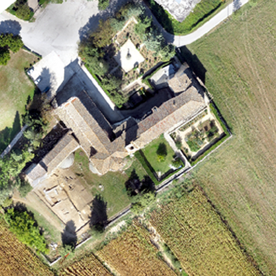
The aerial photogrammetric activity carried out with the use of SAPR can be aimed at various types of survey. The most common ones are:
- Surveys of large territorial areas;
- Surveys of quarries, landslides and slopes;
- Facade surveys;
- Urban control and planning;
- Survey and monitoring of historical, archaeological, artistic, cultural and religious monuments.
Since the typology of these activities (and their operational scale) is very varied, during the investigation planning phase the boundary conditions of the area/work to be investigated must be carefully evaluated and decide which type of aircraft (fixed wing or multirotor) is the most suitable for the purposes.
Structural and plant monitoring
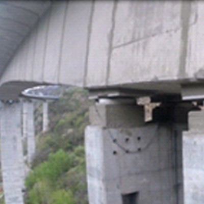
Particularly useful and relevant is the monitoring activity of structures, plants and quarries or storage areas carried out with SAPR. Their use is envisaged for the acquisition of data on elements characterized by high access difficulties and also, not least, on areas characterized by high risk and danger for the safety of the monitoring technicians.
The most common activities in this area are:
- Inspection of bridges, viaducts;
- Inspection of roofs and gutters;
- Inspection of solar and photovoltaic energy systems;
- Inspection of industrial/oil&gas plants;
- Inspection of power lines;
- Inspection of power lines;
- Inspection of wind power plants;
- Inspection of quarries, storage areas and territorial areas.
Monitoring of the environment and natural disasters
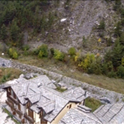
Even in the monitoring of the environment and of areas affected by natural disasters, the use of drones for data acquisition is extremely useful, thanks to the possibility that they give of being able to access the affected areas quickly and in total safety, as well as being able quickly detect large areas of territory.
Some of the possible activities are:
- Inspection of areas subject to instability and landslides;
- Hydrogeological inspections;
- Landfill inspection;
- Vigilanza forestale.
Thermographic measurements
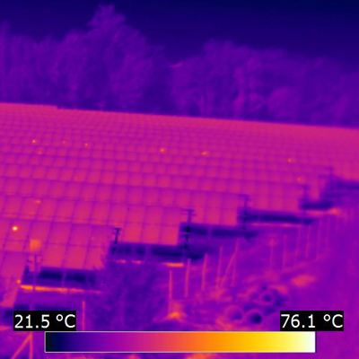
Thermographic surveys with SAPR allow you to quickly carry out thermographic analyzes of large structures, industrial and energy plants and urban sites. Clearly they are used to investigate areas and works that are difficult to access with notable gains in terms of cost-effectiveness, safety and speed.
The most common examples of such activity are:
- Urban thermography;
- Thermography of power lines;
- Thermography of solar energy and photovoltaic systems.
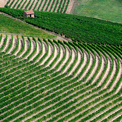
Agriculture and livestock
Also in this case, the use of drones for the inspection and control of agricultural, forestry and livestock activities is aimed at having a vision of the problems and the effectiveness of the solutions applied to them as broad as possible, of rapid acquisition and with timescales. of short repeatability.
All this to achieve better management of resources and to reduce the negative impact that cultivation and breeding practices, if carried out in a way that is not suitable for the territory on which they exist, have on environmental conditions.
In short, survey activity with drones is mainly aimed at:
- Inspection and control of crops;
- Irrigation control;
- Investigations on the presence of parasites;
- Optimization of cultivation practices
