Geomatics
Our Geomatic sector is able to offer tools and qualified personnel for the acquisition, analysis, distribution and use of spatially georeferenced data
We study land and environment in a multidisciplinary way contextualizing them in a geographic context that allows us to evaluate the existing spatial relationships. In our work we use both traditional disciplines, such as topographic surveying and mapping, and the most innovative approaches using geographic information systems..
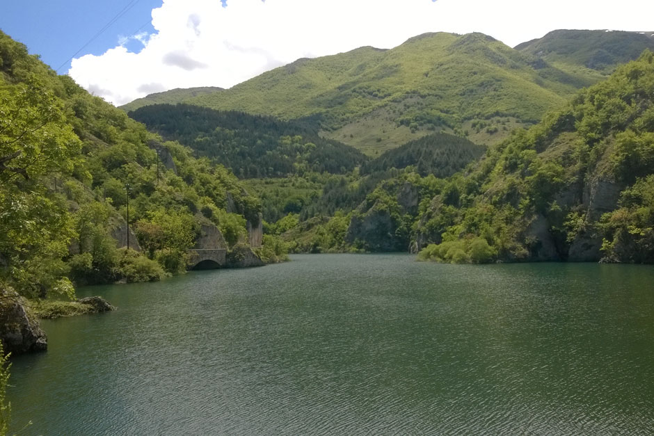
Environment
see more
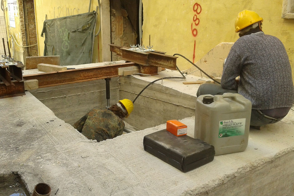
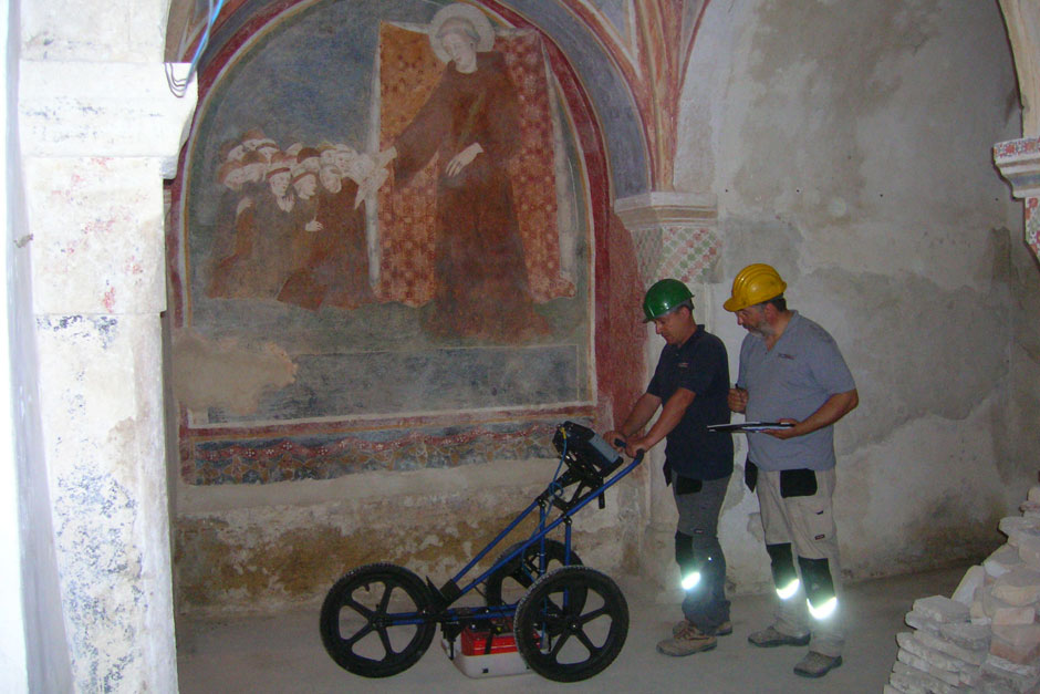
Non destructive testing
see more
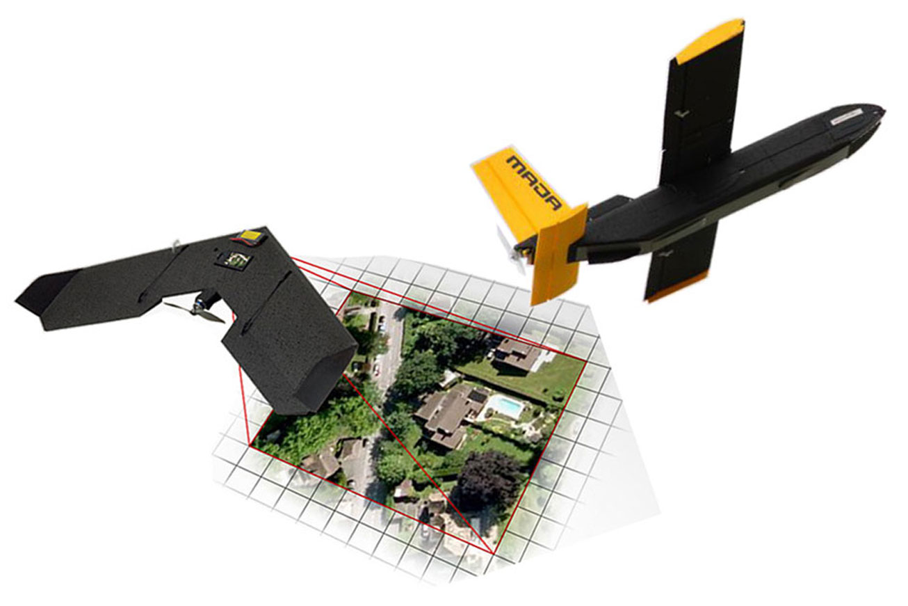
Drone aerial survey & gis
see more
Photogrammetry
see more
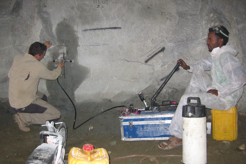
Geophysics
see more
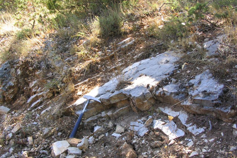
Geology
see more
Geotechnics
see more
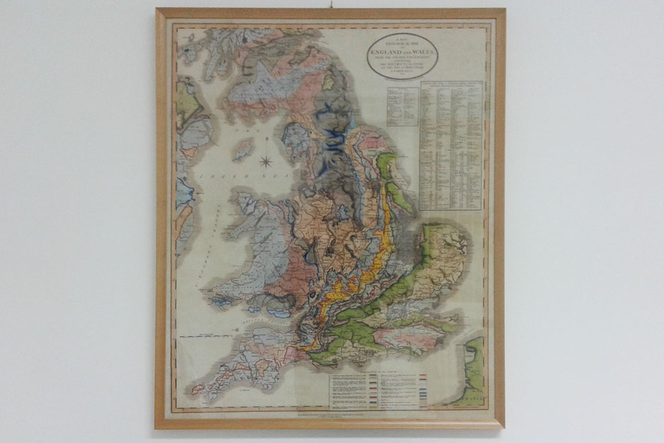
GIS and Cartography
see more
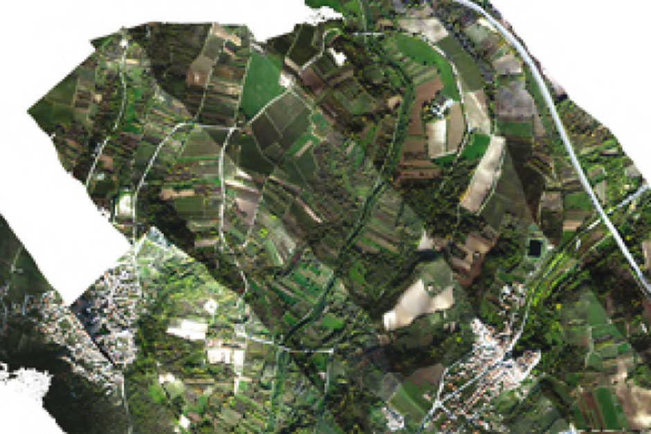
Remote sensing
see more
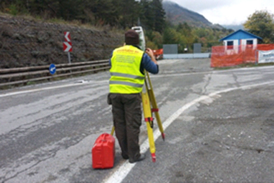
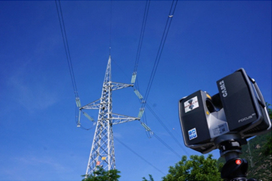
Topography
see more